Southwestern Utah · Above 8,000 ft
Bryce Canyon: the world’s densest collection of hoodoos
Not a canyon, and barely a full day of trails — but the single most extraordinary sunrise in Utah, and one of the darkest skies in the country.
The overview
A plateau edge, eroded into spires
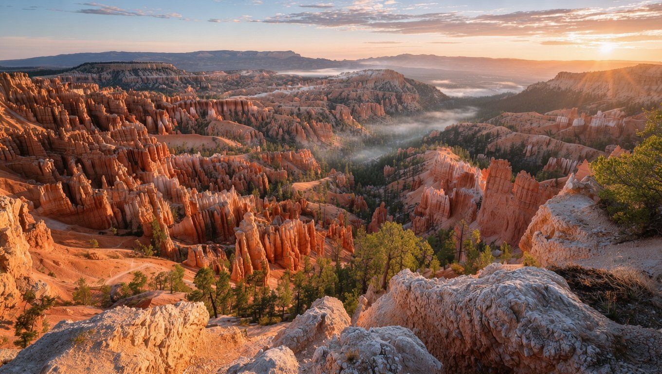
Bryce is not a canyon cut by a river. It is the eastern escarpment of the Paunsaugunt Plateau, where frost and rain have eaten into soft limestone and produced hoodoos — tall, thin rock spires with harder caps that shield the softer stone beneath.
The park runs north to south along a single 18-mile road, with thirteen viewpoints on the east side. Almost everyone stops at Sunrise Point, Sunset Point, Inspiration Point and Bryce Point, in that order, because that is the order the road presents them.
The rim sits at 8,000 to 9,100 feet. That is the fact that governs everything: it is 5 to 8 °C cooler than Zion, snow persists into April, and the altitude is enough to make a normally easy hike feel harder than the numbers suggest.
The one thing to get right
Stay overnight. Bryce is a sunrise park, and the nearest real town is 25 minutes away. If you drive in at 10am, see the viewpoints and leave by 3pm, you have seen Bryce at its least interesting hour.
Trails
Getting below the rim
The viewpoints are the postcard. The trails are the park. Every metre you descend puts you inside the amphitheatre rather than above it.
| Trail | Distance | Gain | Difficulty | Why do it |
|---|---|---|---|---|
| Rim Trail | 8.7 km | 100 m | Easy | Connects all the main viewpoints |
| Queens Garden | 2.9 km | 100 m | Moderate | Shortest route among the hoodoos |
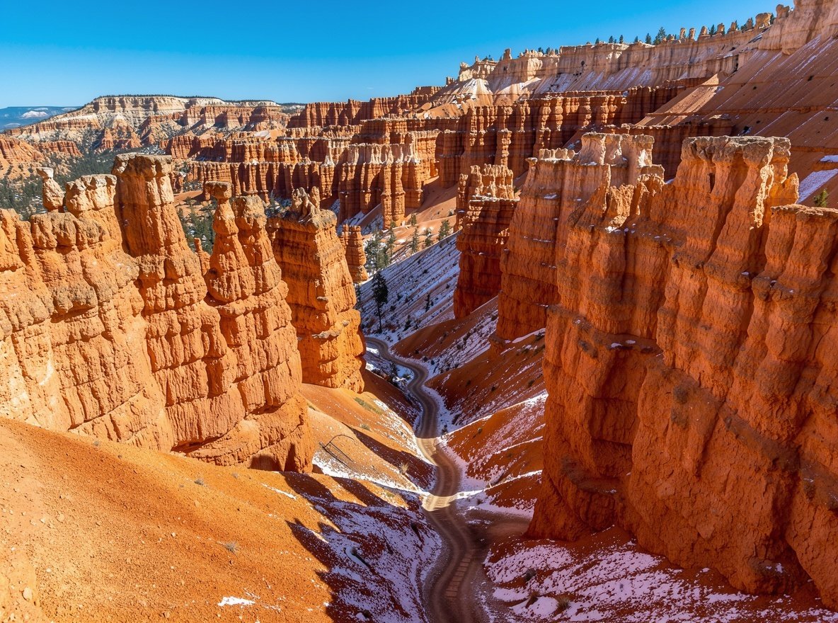
| Navajo Loop | 2.2 km | 170 m | Moderate | Wall Street switchbacks |
| Queens Garden + Navajo | 4.6 km | 190 m | Moderate | The classic loop; best half-day |
| Peekaboo Loop | 8.4 km | 460 m | Hard | Quieter and more varied |
| Fairyland Loop | 12.9 km | 470 m | Hard | Fewest people, biggest variety |
Distances are round trip. At this altitude, add roughly 20% to your usual hiking time.
Timing
Sunrise, sunset, and why the light matters here
The hoodoos face east, which is why sunrise beats sunset at Bryce and why everyone tells you to get up early. As the sun clears the horizon, it lights the tops of the spires first and works downward, and for about twenty minutes the amphitheatre glows.
Sunrise Point is the obvious choice and consequently crowded. Bryce Point gives a wider, more theatrical view of the whole bowl and is worth the extra five minutes of driving. Inspiration Point sits between the two.
Sunset Point is well named for the opposite end of the day, and the Navajo Loop descent under low light is genuinely lovely. Paria View faces west and is the one viewpoint built for evening light — most people never go there.
Arrive 30 minutes early
Parking at Sunrise and Bryce Points fills before first light in summer. Bring a head torch for the walk to the rail, and something warm — pre-dawn at 8,000 feet is cold even in August.
Two reasons to come out of season
Winter and the night sky
Winter: snow on the hoodoos
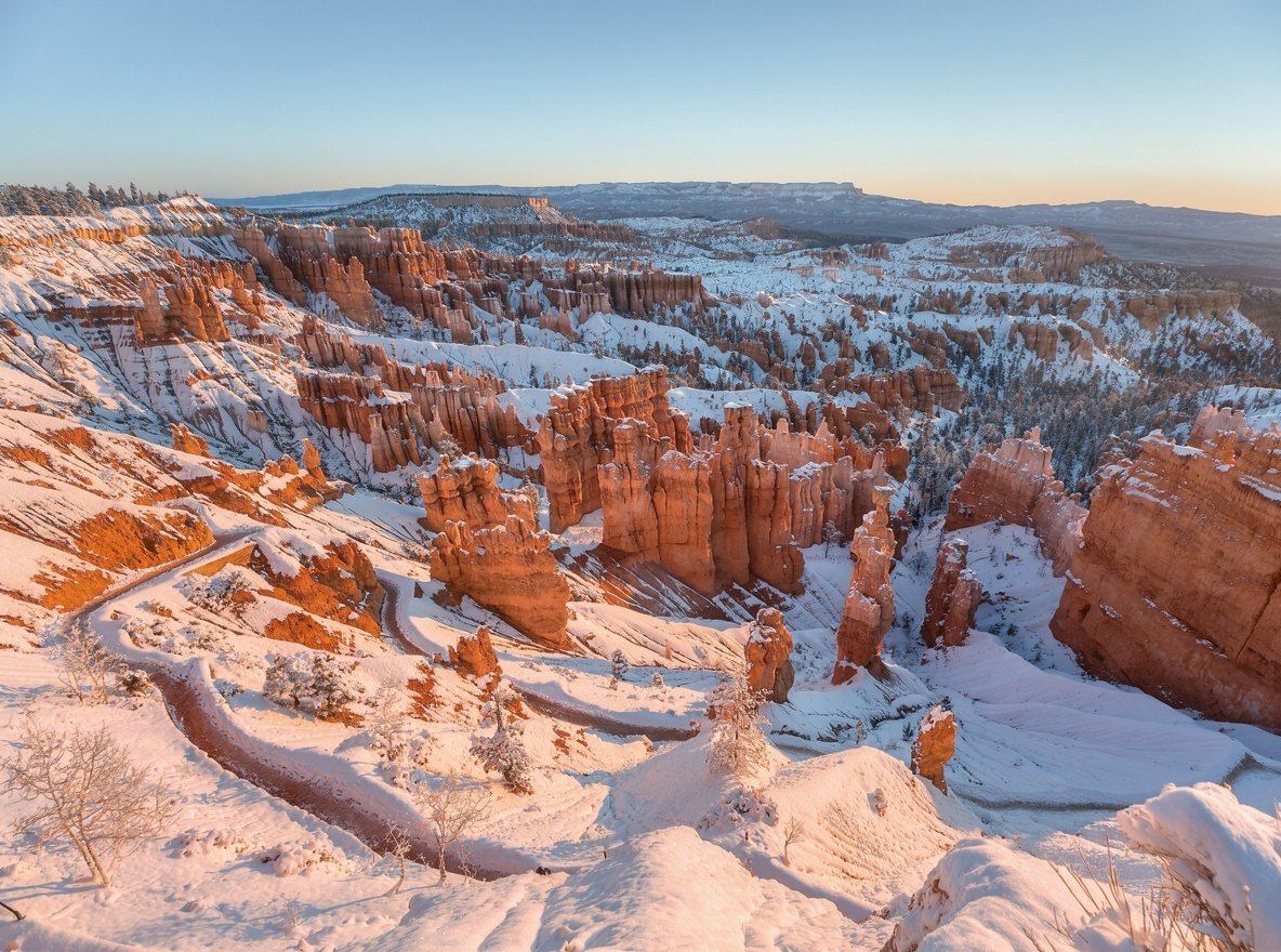
From December to March the amphitheatre holds snow, and orange rock against white is a combination that photographs better than it sounds. The park runs guided snowshoe walks, and rangers lend snowshoes.
The trade-off is access. Part of the scenic road closes to vehicles and becomes a snowshoe and cross-country ski route, so you see less of the park but in a much more peaceful way. Traction devices for the rim trail are essential — it ices and stays icy in shade.
Daytime temperatures hover near or below freezing, and nights drop well below. This is not a place to underestimate layers.
Dark skies: a ranger-led telescope night
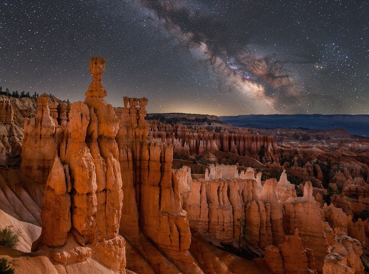
Bryce holds an International Dark Sky Park designation, and the park runs astronomy programmes through the warmer months — telescopes set up at the visitor centre, rangers explaining what you are looking at.
Even without a programme, the viewing is exceptional. On a moonless night the Milky Way casts a faint shadow. The best spots are the viewpoints away from the lodge lights: Bryce Point and Paria View in particular.
- Check the moon phase before you book — a full moon washes out the Milky Way
- Bring a red-light head torch; white light ruins everyone's night vision
- Night temperatures at 8,000 feet drop fast, even in summer
- Bryce sits at high altitude, which means clearer, steadier air
Getting there and where to sleep
Getting there
- From Zion / Springdale: 1 h 50 m via Highway 9 and US-89.
- From Las Vegas: about 4 hours.
- From Salt Lake City: 4 hours via Interstate 15 and Highway 20.
- Scenic Route 12 east from Bryce toward Torrey is one of the great American drives — allow a full day and stop often.
Where to sleep
- Bryce Canyon City — 2 km from the gate, the practical choice.
- Bryce Canyon Lodge — in-park, historic, books out early.
- Sunset Campground — inside the park, reserve months ahead.
- Tropic — 15 minutes away, smaller and often cheaper.
- Panguitch — 40 minutes, a real town with services.
Bryce Canyon questions
Is Bryce Canyon actually a canyon?
No. It is a series of amphitheatres on the eastern edge of the Paunsaugunt Plateau, eroded by frost and rain rather than by a river. The name is historical. Practically, it means the geology is vertical and close-up rather than distant and horizontal.
What is the best time to visit Bryce Canyon?
Late May to early June and September. July and August are busiest. Winter is quiet and beautiful, with snow on the hoodoos and snowshoe tours, though part of the scenic road closes.
How long do you need in Bryce Canyon?
One full day for the drive, the viewpoints and one hike into the amphitheatre. Two nights if you want sunrise, sunset and stargazing — which is how Bryce is meant to be seen.
Do you need a permit to hike at Bryce?
No permits are needed for day hikes. Backcountry camping requires a permit from the visitor centre. The park does not use a shuttle, so you drive between viewpoints.
Is the altitude a problem?
At 8,000 feet, some visitors notice shortness of breath on the climbs. Take the trails slower than the distances suggest, drink more water than usual, and give yourself a day to adjust if you are coming from sea level.