Southeastern Utah · Colorado River
Moab: two national parks, one river, and a town built for it
Eight kilometres from Arches, forty-five from Canyonlands, and surrounded by some of the most famous mountain bike trails on earth. The only question is how much you are willing to book ahead.
The overview
A one-street town with an unusual amount of leverage
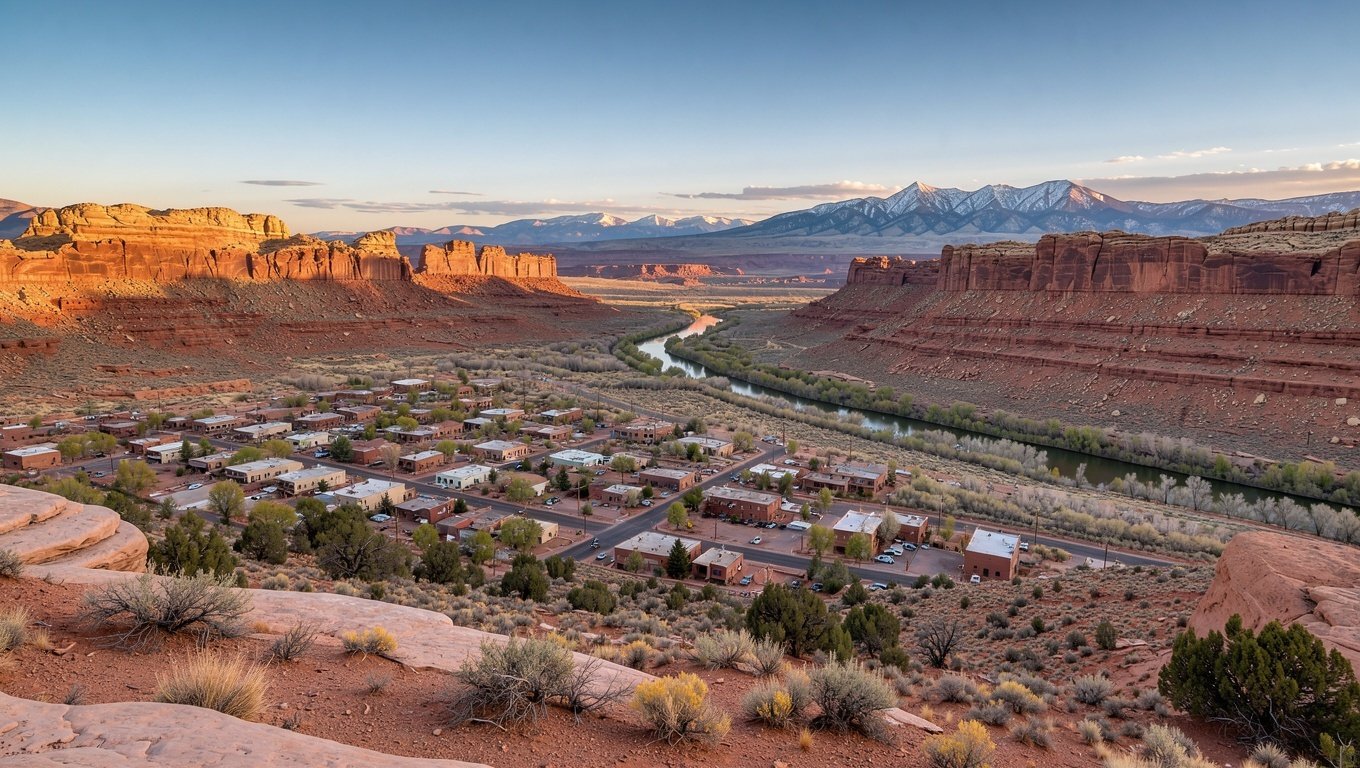
Moab has around 5,000 residents and roughly four times that many hotel beds. It exists because two rivers meet nearby, because uranium was mined here in the 1950s, and — since the 1980s — because people discovered the surrounding rock was very good to ride across.
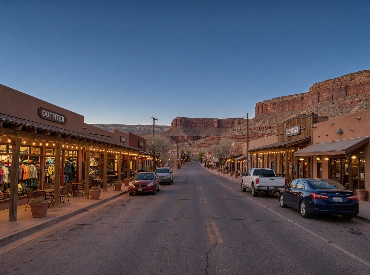
The town is essentially a long main street, US-191, lined with outfitters, bike shops, cafés and motels. Behind it, the Colorado River cuts a gorge. To the north, Arches. To the west, Canyonlands' Island in the Sky. It is an unusually well-placed base.
What makes Moab different from Springdale or Torrey is that the parks are only part of it. Mountain biking, off-roading and rafting are industries in their own right here, and people come for a week without entering a park at all.
Book early or be flexible
Moab sells out. Spring and autumn weekends, Jeep Safari week, and much of summer are booked months ahead. If you are coming in peak season without a reservation, consider Green River (1 hour) or Monticello (1 hour 15) as overflow.
The core decision
How to split your days
Everyone arrives with the same question: Arches or Canyonlands first, and how much time does each really need?
| Day | Morning | Afternoon | Evening |
|---|---|---|---|
| Day 1 | Arches at sunrise — Delicate Arch trail | Windows Section, Balanced Rock, Devils Garden | Sunset at Dead Horse Point |
| Day 2 | Canyonlands — Mesa Arch at dawn | Grand View Point, Upheaval Dome, Green River Overlook | Dinner in town, early night |
| Day 3 | Colorado River half-day raft or a bike ride | Potash Road petroglyphs or Corona Arch | Sunset from a river overlook |
If you only have one day
Do Arches at sunrise, Canyonlands' Island in the Sky in the afternoon. It is a lot of driving and you will not do either park justice, but it covers the two signature views: Delicate Arch and Grand View Point.
Beyond the parks
What Moab is actually famous for
Mountain biking
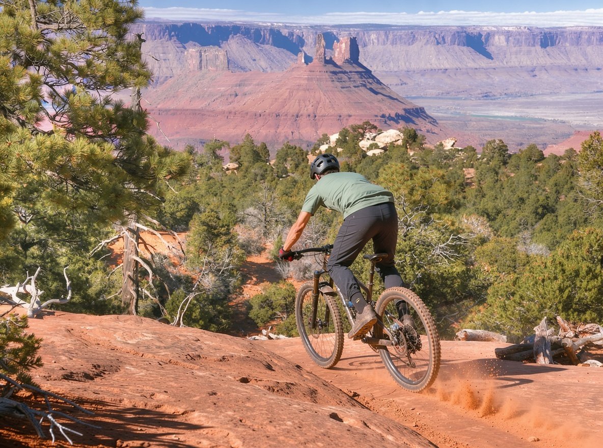
Moab is where the modern mountain bike industry found its proving ground. Slickrock Trail is the iconic one — 16 km of rolling loops across bare sandstone with extraordinary grip and no shade at all. The Whole Enchilada is the other: a 42 km descent from alpine forest at 3,400 metres down to the river, usually ridden as a shuttle from July to October.
There are gentler options. Bar M and Klondike Bluffs suit intermediate riders, and Deadman's Ridge is a good introduction to desert riding. Bike shops in town rent full-suspension bikes and run shuttles.
Colorado River rafting
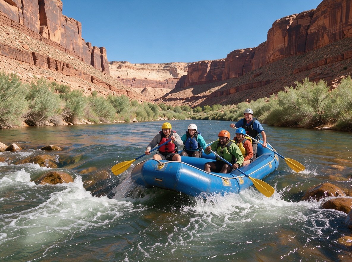
Two stretches are worth knowing. Fisher Towers is the half-day family option — class I and II water with big canyon scenery. Westwater Canyon is the serious one, with class III and IV rapids and a permit system.
Cataract Canyon, further downstream in Canyonlands, is a multi-day trip through the park's confluence.
Logistics
Getting there
- From Salt Lake City: 3 h 45 m south on US-191.
- From Capitol Reef: 3 h 15 m via Highway 24 and Interstate 70.
- From Grand Junction, Colorado: 1 h 45 m — often the cheapest flight option.
- Canyonlands Field (CNY): small airport with limited routes; check schedules carefully.
- Fuel and supplies: stock up here. Services thin out dramatically in every direction.
Where to stay
- Downtown Moab — walkable to restaurants, 10 minutes to Arches.
- Spanish Valley — 10 minutes south, quieter and often cheaper.
- Along the river — lodges and campgrounds on Highway 128, scenic and calm.
- Devils Garden Campground — inside Arches, books out months ahead.
- Green River — 1 hour west, a genuine overflow option.
What to watch for
- Summer heat: 38 °C+ is normal in July. Ride and hike at dawn.
- No shade: almost none on the slickrock or in Arches. Plan around it.
- Water: carry far more than you think. There is none on most trails.
- Crowds: Arches entrance queues back onto the highway by 8am in season.
- Jeep Safari week in spring fills every room in town and every trailhead.
Nearby, often missed
- Dead Horse Point State Park — 30 minutes from Canyonlands, arguably a better overlook.
- Corona Arch — a short hike off Potash Road to a huge arch, no permit needed.
- Potash Road petroglyphs — rock art panels along the river road.
- Castleton Tower — a famous desert spire for climbers and photographers.
Moab questions
How many days should you spend in Moab?
Three nights is the realistic minimum: one day for Arches, one for Canyonlands' Island in the Sky, and one for a river trip or bike ride. Two nights works if you choose between the parks. Four or more adds Dead Horse Point, the Needles district or a longer river day.
Is Moab walkable?
The main street strip of hotels, outfitters and restaurants is walkable and about 2 km long, but you need a vehicle for everything else. The parks are 8 km and 51 km away with no public transit to either.
When is the best time to visit Moab?
April to May and September to October. Spring brings mild days and wildflowers; autumn brings cooler air and thinner crowds after mid-September. July and August are very hot, and Jeep Safari week in spring fills every bed in town.
Do you need a permit for mountain biking in Moab?
Not for the trails themselves. The Whole Enchilada requires a shuttle and is only rideable from roughly July to October depending on snow at the top. Some trails cross private or permit land — check locally. Westwater Canyon rafting does require a permit or a commercial outfitter.
Can you do Arches and Canyonlands in one day?
You can, but it is a long day. Arches at sunrise, then drive 45 minutes to Island in the Sky for the afternoon. That covers Delicate Arch and Grand View Point and not much else. Two days is far better.